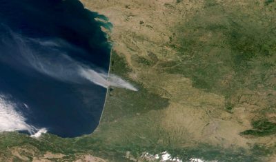
POLLUTION DE L’AIR À L’ÉCHELLE FRANÇAISE ASSOCIÉE AUX FEUX EN GIRONDE
En ce mois de juillet 2022 caniculaire, l’Europe est soumise à de fortes températures, facteur à l’origine du déclenchement de multiples incendies de forêt en Espagne, au Portugal, en France, Grèce, etc. Les masses d’air en provenance du sud apportent leurs cortèges de poussières minérales désertiques et transportent les particules carbonées émises par ces incendies. […]
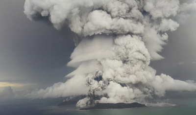
Measuring the size of stratospheric aerosols from volcanic eruptions
Explosive eruptions can inject massive amounts of sulfate aerosols in the stratosphere, that are capable of perturbing atmospheric chemistry and Earth’s climate. However, crucial information about the size of aerosols, a critical parameter in climate models, is generally missing. To address such gap, an interdisciplinary team from LOA (Laboratoire d’Optique Atmosphérique) at the University of […]
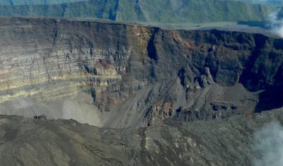
THE ERUPTION OF PITON DE LA FOURNAISE OBSERVED BY THE WEB PLATFORM VOLCPLUME
The Piton de la Fournaise, reaching an altitude of 2,632 metres, is the active volcano on the island of Reunion in the Indian Ocean. Piton de la Fournaise is one of the most active volcanoes on the planet: in terms of the frequency of new eruptions (on average one every nine months over the last […]
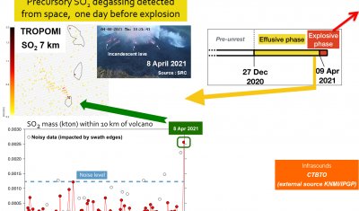
Near-real time monitoring from space of precursory degassing & explosive activity at Soufrière St. Vincent (April 2021)
9–13 Apr 2021: Near Real Time monitoring of explosive activity Synergetic analysis of geostationary & infrasound data Related article: – DATA TERRA, Jul. 2021, “Éruption de La Soufrière Saint-Vincent: mobilisation des pôles de données de Data Terra pour épauler les scientifiques“,https://www.data-terra.org/actualite/eruption-de-la-soufriere-saint-vincent-mobilisation-des-poles-de-donnees-data-terra/ References: Boichu, M. & Grandin, R. (2021). La télédétection épaule la surveillance de l’éruption […]
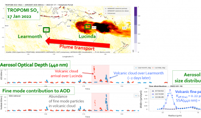
Near-source transport and properties of particles from the 2022 Hunga Tonga eruption
HIMAWARI-8 SO2 RGB Related article: AERIS communication (Jan 2022), “L’éruption volcanique sur les îles Tonga vue par les satellites géostationnaires” impliquant la plateforme VOLCPLUME.https://www.aeris-data.fr/leruption-volcanique-sur-les-iles-tonga-vue-par-les-satellites-geostationnaires/
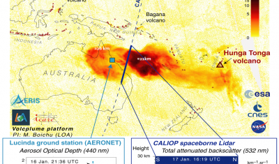
Rapid production of sulfate aerosols from the 2022 Hunga Tonga eruption
A young plume remarkably rich in fine sulfate aerosols & poor in coarse ash particles References:
